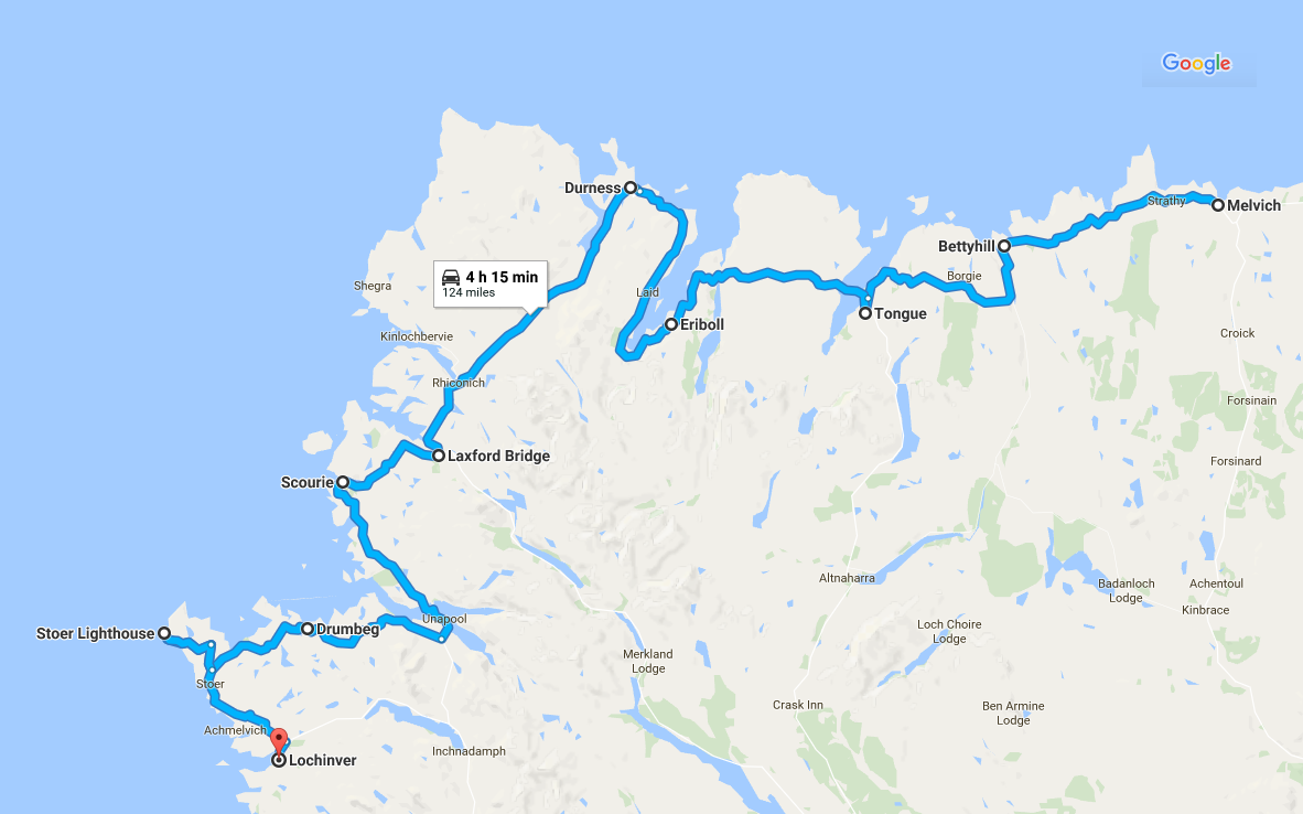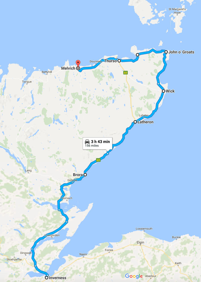

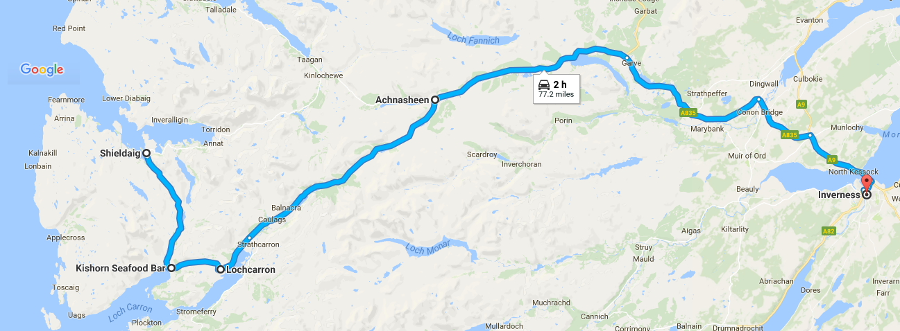
Our route from Shieldaig to Inverness
My first post described our planning for our trip round the North Coast 500. My second post covered our first day, travelling from Inverness to Melvich. My third post covered our second day, travelling from Melvich to Lochinver and my most recent post described our trip from Lochinver to Shieldaig. After a short time heading South, we would spend most of today, travelling East back to Inverness.
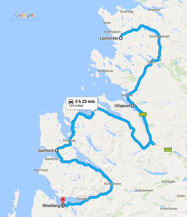
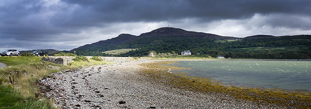
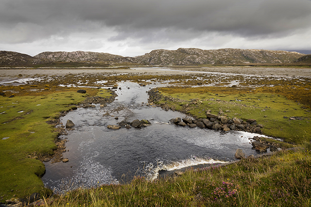
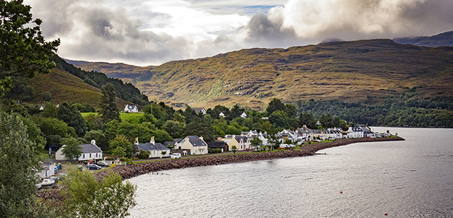
Leaving Shieldaig, the following morning on the A896, we passed by the village of Kishorn, which I will cover in a separate blog post. Some 40 years ago, as part of my A Level Geography course, I wrote an article about the impact of the building of (what was then) the largest dry dock in Europe in this village. It was created to allow the building of the concrete oil rig called the Ninian Central Platform that was destined for the North Sea.
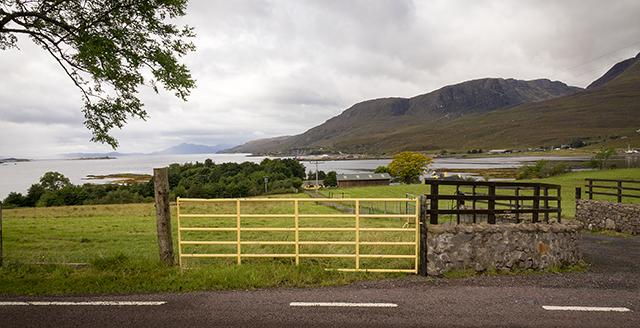
Kishorn, looking towards what was the largest dry dock in Europe when it was built in the 1970s
Well worth a visit on this road is the award-winning Kishorn Seafood Bar. It’s best to check their website before you go, as this is not open 12 months of the year.
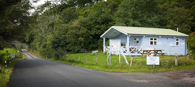
Kishorn Seafood Bar
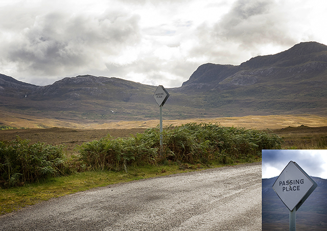
The A896 is a pretty tough road to drive on. It is a single track much of the way and is very twisty in places. By now, you will be thanking me for my advice to do the NC500 anti-clockwise.
If you are feeling particularly brave, you can do a detour round the coast via the village of Applecross. You will then go back to the A896 on the famous Bealach na Ba (the Pass of the Cattle.) This is a tightly winding single track road, which holds the record for the steepest ascent of any road in the UK. I’ve driven on it in the past and I would only recommend driving on it in the best of weather. There is an excellent, illustrated article about this road here.
Heading East to Inverness
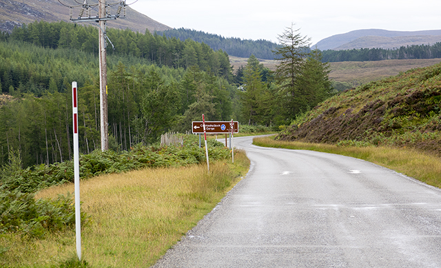
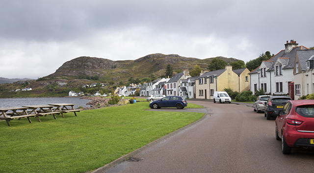
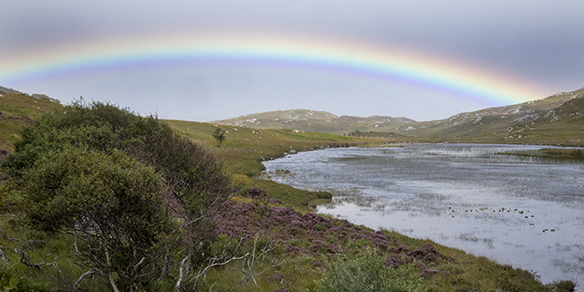
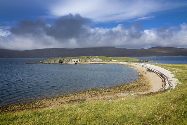
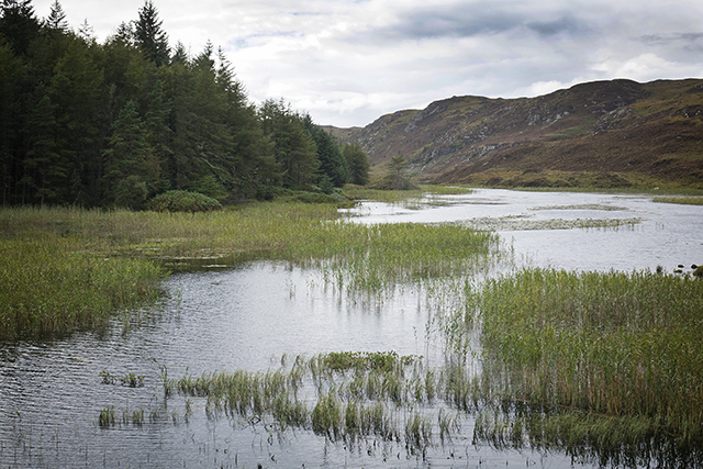
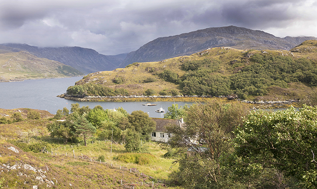
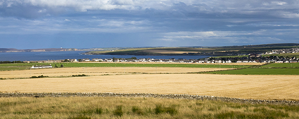
Next, we arrived in Lochcarron. This is a lovely village on a sea loch, which means a lot to me. It’s where my maternal grandparents lived and where my mother, her brother and her sisters were born.
I have fond memories of Easter holidays spent at my grandfather’s house when I was a child. I remember fishing in the nearby burn (stream) and watching my grandfather feeding a robin that would come to his hand.
Both sets of my grandparents are buried in the Lochcarron Burial Ground, along with two sets of aunts and uncles, so we always stop off here.
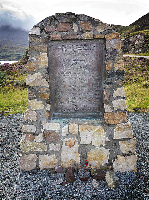
On my maternal grandparents’ grave is a memorial to my mother’s older brother, Sgt Finlay MacRae, who is buried in Berlin. On his 13th mission as a tail gunner in a Lancaster bomber and just a few weeks after his 19th birthday, he was killed in action. At that point in the war, the life expectancy for RAF Bomber Command aircrew was just 3 missions.
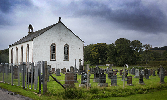
Lochcarron Burial Ground
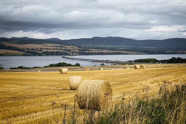
From now on, we would be heading East. The route back to Inverness from Lochcarron is quite easy nowadays. It used to be mainly single track roads with passing places but is now a mixture of single track roads and dual track roads that are easy to navigate. We covered the final 77 miles of our journey in 2 hours, averaging 39 miles per hour. In total, we had covered 486 miles over 4 days.
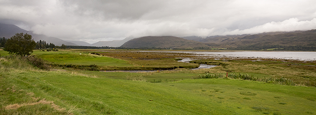
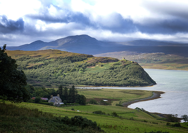
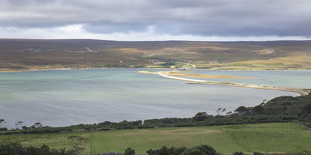
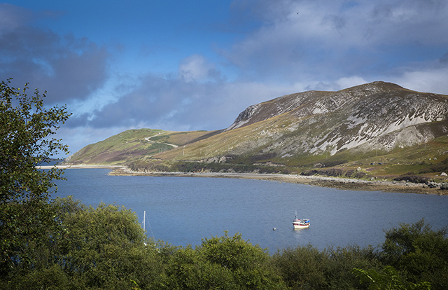
Loch Carron, looking towards Strathcarron
Culloden
Whilst the Culloden Battlefield isn’t on the NC500, it is just a few miles East of Inverness and, as Liz had never seen it, we called in before checking in to our hotel in Inverness.
If you are ever in this area, I can recommend a visit. The Visitor Centre is excellent and what is, in reality, a war grave for Scottish and English soldiers, is strangely beautiful.
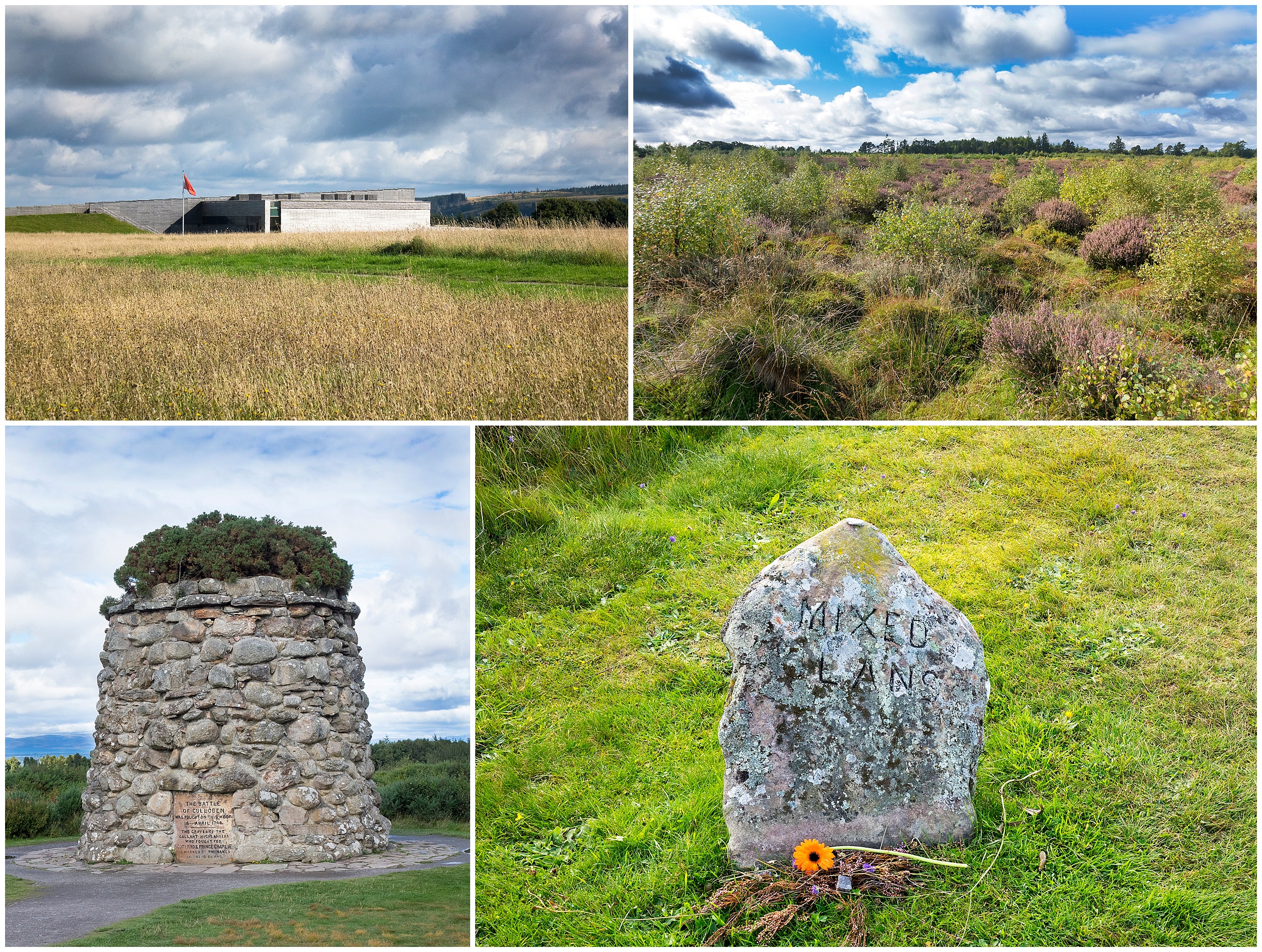
Culloden
From top left hand corner, going clockwise:
The Visitors’ Centre
The Culloden Battlefield
Mass grave headstone
Memorial at the Culloden Battlefield
The NC500 – in summary
4 days and 3 nights spent on the greatest motoring adventure in the UK.
The North Coast 500 has been a hugely successful marketing exercise but it is not without its critics. Those who can benefit from the spike in tourist numbers are fans but those who are doing jobs that do not benefit from the increase in tourism are highly critical of the increase in traffic and the congestion this creates. So don’t forget to let locals go past on single-track roads. You are on holiday; they are trying to do their jobs.
As I previously mentioned, the tourism infrastructure lags behind the demand for hotel rooms, bed and breakfasts and campsites. But I have no doubt that this demand will be filled by the entrepreneurs who have been drawn to this area.
In the years to come, this route is only going to get busier and busier. I doubt if there will be many improvements in the quality of the roads that make up this route – and that will be part of the continuing appeal of the NC500. It has its challenges and when you have completed the trip, you do feel that you have achieved something.
My advice
1. Visit the NC500 it before it gets too busy.
2. Travel round the NC500 via the anti-clockwise route. We did the trip in 4 days and with 3 overnight stops but there is more than enough to see and do on this route to make it a week long trip.
3. Use a proper camera, rather than use a smart phone. Digital cameras can now be bought for very reasonable prices and will give you archivable, printable memories for many years to come.
For my work as a photographer, I normally use a Canon Eos 5D Mk III and a Canon Eos 1Dx with a battery of lenses. On this trip, I used just a single Sony RX 10 Mk II, which has a fixed Zeiss 24mm – 200mm f2.8 zoom lens. It is the perfect camera for trips like this but there are much cheaper cameras available if the photos are just for yourselves.
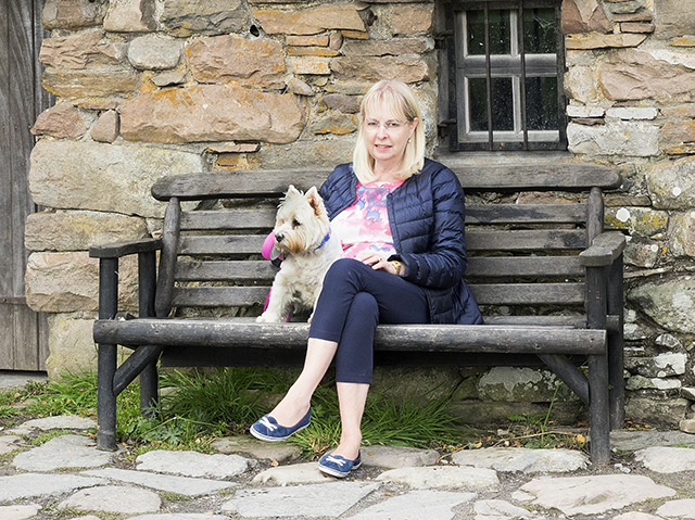
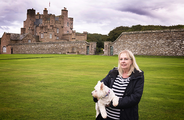
Liz and Rosie at Culloden